The Canal de la Marne au Rhin was completed in 1855 as a vital link between Paris and Alsace and Germany. It presents diverse landscapes, but is consistently delightful along its full length. Waterways author Hugh McKnight rightly judges that the length from Niderviller PK 245 to Saverne PK 269 contains all that is best on the French waterways : the softly rounded countryside of Lorraine, then steep-sided wooded valleys, picturesque Alsatian villages, plus two tunnels and the unique Arzviller inclined plane. The canal passes through the historic towns of Bar-le-Duc, Toul and Nancy, and finishes in style just beyond the European Parliament in Strasbourg.
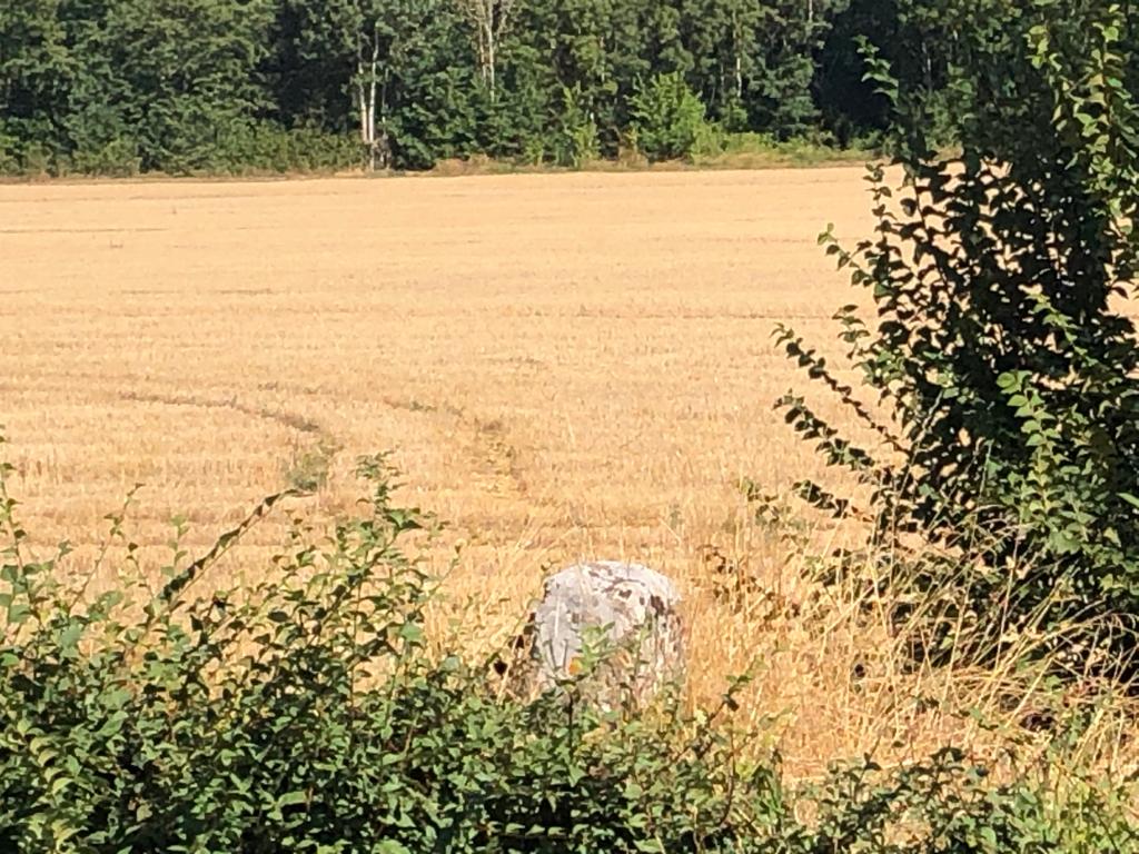
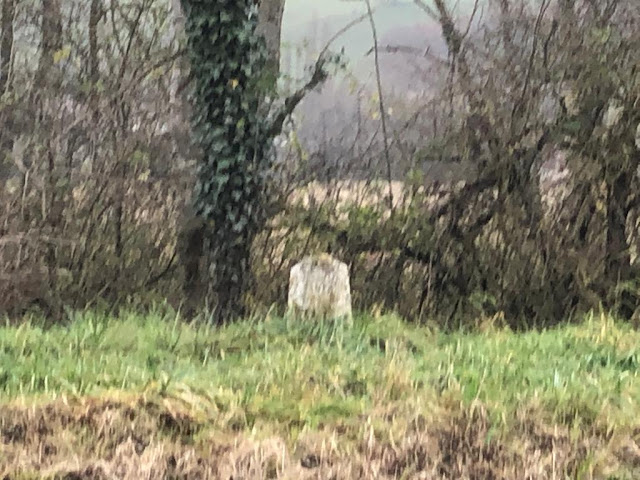
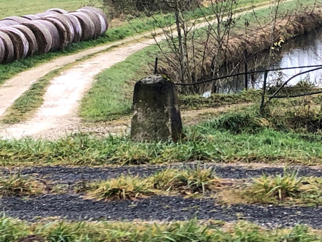
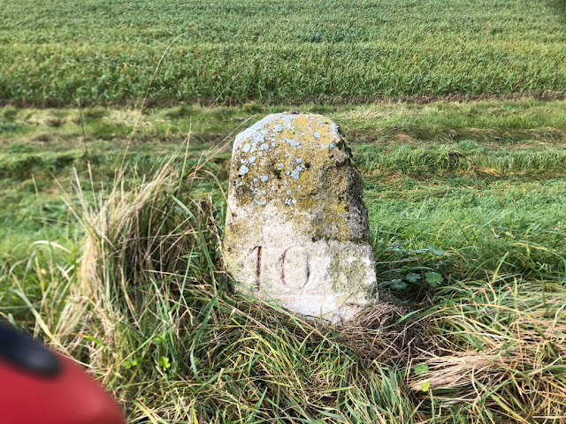
This was the longest canal in France (313km) until 1979, when a 23km section along the Moselle valley was closed following completion of the Moselle canalisation works between Frouard and Neuves-Maisons. The markers show the distance from Vitry-le-François, the town at the start of the canal in the west.
 |
| 11 |
 |
| 17 |

 |
| 28 |
 |
| 29 |
 |
| An odd one - shows 10.3km to Brusson, a small village in the middle of nowhere |
 |
| 38 |
 |
| 38 |
 |
| 38 |
 |
| 38 |
 |
| 39 |
 |
| 64 |
 |
| 65 |
 |
| 72 |
 |
| 75 |
 |
| 85 |
 |
| 85 (on Embranchement Houdelaincourt) |
 |
| 99 |
 |
| 102 |
 |
| 105 |
 |
| 106 |
 |
| 107 |
 |
| 108 |
 |
| 110 |
 |
| 129 |
 |
| 129 |
 |
| 130 |
 |
| 177 |
 |
| 229 |
 |
| 230 |
 |
| 231 |
 |
| 234 |
 |
| 235 |
 |
| 237 |
238 |
 |
| 241 |
 |
| 242 |
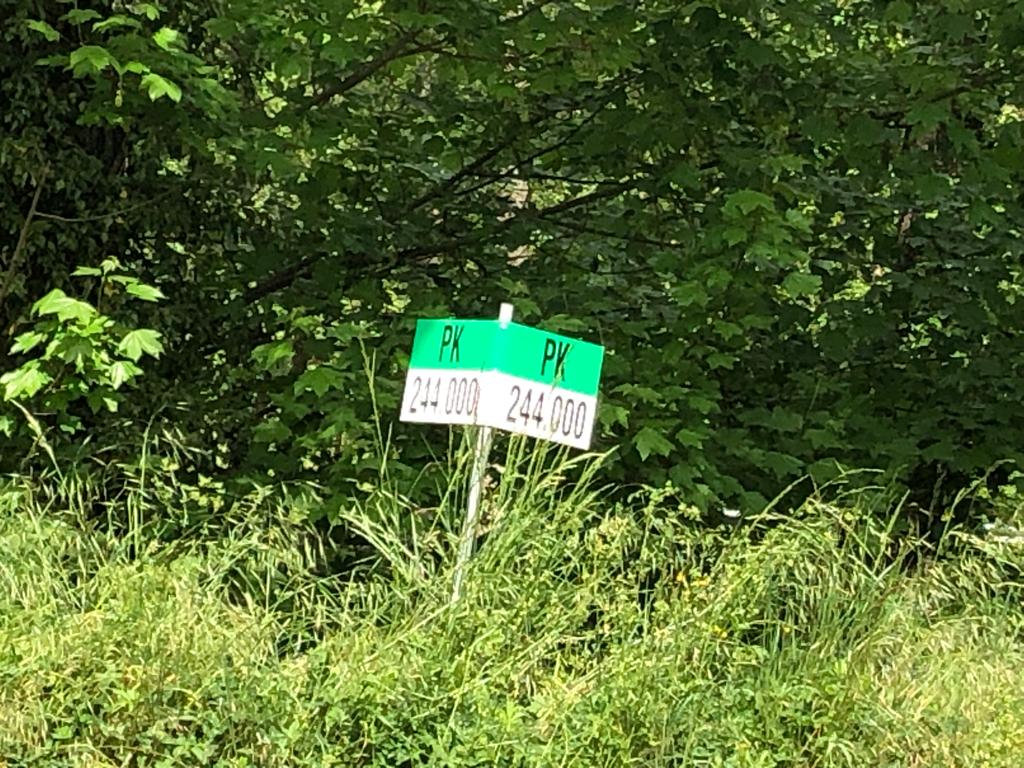 |
| 244 |
 |
| 246 |
 |
| 247 |
 |
| 248 |
 |
| 264 |
 |
| 265 |
 |
| 266 |
 |
| 267 |
 |
| 268 |
 |
| 270 |
 |
| 272 |
 |
| 273 |
 |
| 274 |
 |
| 275 |
 |
| 276 |
 |
| 277 |
 |
| 278 |
 |
| 279 |
 |
| 280 |
 |
| 281 |
 |
| 282 |
 |
| 284 |
 |
| 285 |
 |
| 286 |
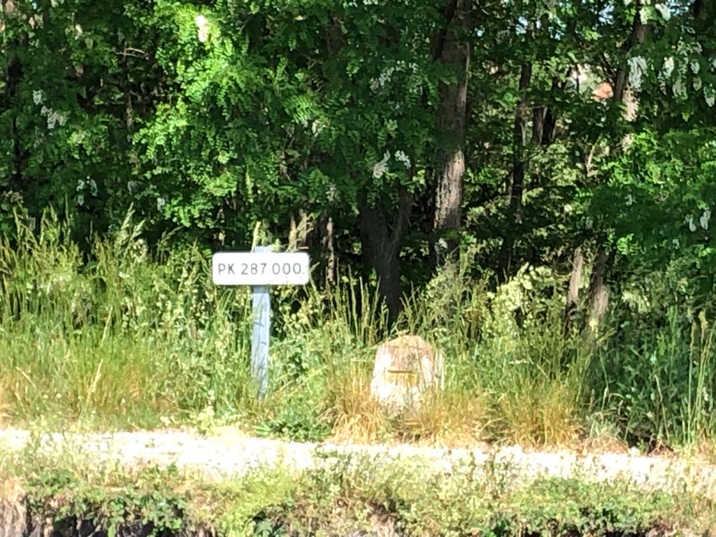 |
| 287 |
 |
| 288 |
 |
| 289 |
 |
| 290 |
 |
| 292 |
 |
| 294 |
No comments:
Post a Comment